படிமம்:Ironbridge 6.jpg
இந்த முன்னோட்டத்தின் அளவு: 800 × 595 படப்புள்ளிகள் . மற்ற பிரிதிறன்கள்: 320 × 238 படப்புள்ளிகள் | 640 × 476 படப்புள்ளிகள் | 1,024 × 762 படப்புள்ளிகள் | 1,280 × 952 படப்புள்ளிகள் | 2,216 × 1,648 படப்புள்ளிகள் .
மூலக்கோப்பு (2,216 × 1,648 படவணுக்கள், கோப்பின் அளவு: 787 KB, MIME வகை: image/jpeg)
| இது விக்கிமீடியா பொதுக்கோப்பகத்தில் இருக்கும் ஒரு கோப்பாகும். இக்கோப்பைக் குறித்து அங்கே காணப்படும் படிம விளக்கப் பக்கத்தை இங்கே கீழே காணலாம்.
|
| விளக்கம் |
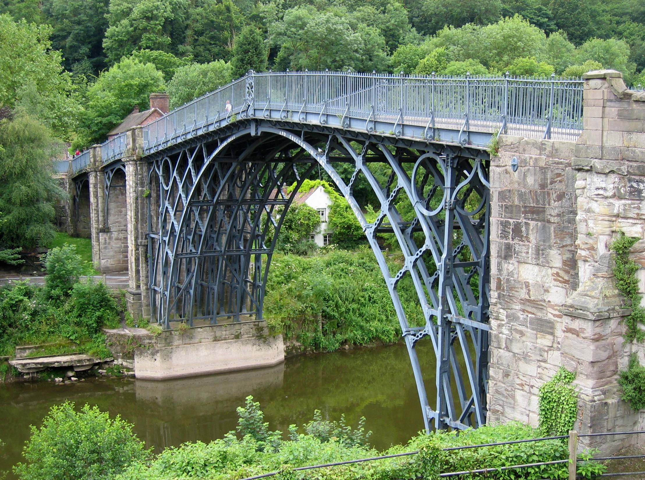
Another view of the bridge Ironbridge 6 |
| நாள் | |
| மூலம் | Flickr |
| ஆசிரியர் | Roantrum |
| Reviewer | Andre Engels |
 |
When this file was uploaded to Wikimedia Commons, it was available from Flickr under the stated license. The Flickr user has since stopped distributing the file under this license. As Creative Commons licenses cannot be revoked in this manner, the file is still free to use under the terms of the license specified. See the Creative Commons FAQ on revoking licensing.
|
இந்த கோப்பிற்கு Creative Commons ன் கீழ் உரிமம் வழங்கப்பட்டுள்ளது. Attribution 2.0 Generic உரிமம்.
- நீங்கள் சுதந்திரமாக:
- பகிர்ந்து கொள்ள – வேலையை நகலெடுக்க, விநியோகிக்க மற்றும் அனுப்ப
- மீண்டும் கலக்க – வேலைக்கு பழகிக்கொள்ள.
- கீழ்க்காணும் விதிகளுக்கு ஏற்ப,
- பண்புக்கூறுகள் – நீங்கள் பொருத்தமான உரிமையை வழங்க வேண்டும், உரிமத்திற்கான இணைப்பை வழங்க வேண்டும் மற்றும் மாற்றங்கள் செய்யப்பட்டிருந்தால் குறிப்பிட வேண்டும். நீங்கள் ஏற்புடைய எந்த முறையிலும் அவ்வாறு செய்யலாம், ஆனால் எந்த வகையிலும் உரிமதாரர் உங்களை அல்லது உங்கள் பயன்பாட்டிற்கு ஒப்புதல் அளிக்கும் படி பரிந்துரைக்க கூடாது.
| This image, originally posted to Flickr, was reviewed on 13 January 2008 by the administrator or reviewer FlickrLickr, who confirmed that it was available on Flickr under the stated license on that date. |
| Camera location | | View this and other nearby images on: OpenStreetMap |
|---|
கோப்பின் வரலாறு
குறித்த நேரத்தில் இருந்த படிமத்தைப் பார்க்க அந்நேரத்தின் மீது சொடுக்கவும்.
| நாள்/நேரம் | நகம் அளவு சிறுபடம் | அளவுகள் | பயனர் | கருத்து | |
|---|---|---|---|---|---|
| தற்போதைய | 19:51, 13 சனவரி 2008 | | 2,216 × 1,648 (787 KB) | FlickrLickr | {{flickr| |title=Ironbridge 6 |description=Another view of the bridge |photographer=Roantrum |photographer_location= |photographer_url=http://flickr.com/photos/95441602@N00 |flickr_url=http://flickr.com/photos/95441602@N00/25453448 |taken=2005-07-12 15:12 |
கோப்பு பயன்பாடு
பின்வரும் பக்க இணைப்புகள் இப் படிமத்துக்கு இணைக்கபட்டுள்ளது(ளன):
கோப்பின் முழுமையான பயன்பாடு
கீழ்கண்ட மற்ற விக்கிகள் இந்த கோப்பை பயன்படுத்துகின்றன:
- ar.wikipedia.org-திட்டத்தில் இதன் பயன்பாடு
- be.wikipedia.org-திட்டத்தில் இதன் பயன்பாடு
- bg.wikipedia.org-திட்டத்தில் இதன் பயன்பாடு
- bn.wikipedia.org-திட்டத்தில் இதன் பயன்பாடு
- ca.wikipedia.org-திட்டத்தில் இதன் பயன்பாடு
- da.wikipedia.org-திட்டத்தில் இதன் பயன்பாடு
- de.wikipedia.org-திட்டத்தில் இதன் பயன்பாடு
- el.wikipedia.org-திட்டத்தில் இதன் பயன்பாடு
- en.wikipedia.org-திட்டத்தில் இதன் பயன்பாடு
- eo.wikipedia.org-திட்டத்தில் இதன் பயன்பாடு
- eo.wiktionary.org-திட்டத்தில் இதன் பயன்பாடு
- es.wikipedia.org-திட்டத்தில் இதன் பயன்பாடு
- fr.wikipedia.org-திட்டத்தில் இதன் பயன்பாடு
- gl.wikipedia.org-திட்டத்தில் இதன் பயன்பாடு
- he.wikipedia.org-திட்டத்தில் இதன் பயன்பாடு
- hi.wikipedia.org-திட்டத்தில் இதன் பயன்பாடு
- hr.wikipedia.org-திட்டத்தில் இதன் பயன்பாடு
- hu.wikipedia.org-திட்டத்தில் இதன் பயன்பாடு
- hy.wikipedia.org-திட்டத்தில் இதன் பயன்பாடு
சிறப்பு பக்கம்-மொத்த பயன்பாடு - இதன் மூலம் இந்த கோப்பின் மொத்த பயன்பாட்டை அறிய முடியும்