படிமம்:Chennai traffic at night.jpg
இந்த முன்னோட்டத்தின் அளவு: 800 × 546 படப்புள்ளிகள் . மற்ற பிரிதிறன்கள்: 320 × 218 படப்புள்ளிகள் | 640 × 437 படப்புள்ளிகள் | 1,024 × 699 படப்புள்ளிகள் | 1,200 × 819 படப்புள்ளிகள் .
மூலக்கோப்பு (1,200 × 819 படவணுக்கள், கோப்பின் அளவு: 291 KB, MIME வகை: image/jpeg)
| இது விக்கிமீடியா பொதுக்கோப்பகத்தில் இருக்கும் ஒரு கோப்பாகும். இக்கோப்பைக் குறித்து அங்கே காணப்படும் படிம விளக்கப் பக்கத்தை இங்கே கீழே காணலாம்.
|
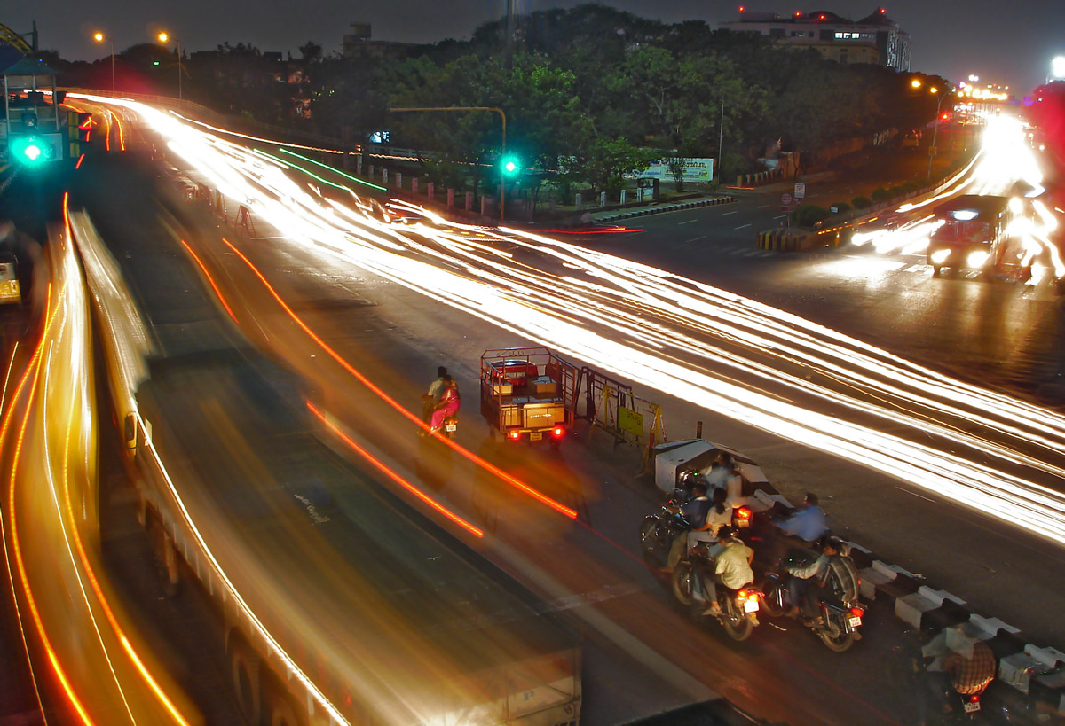
| விளக்கம் | Traffic outside en:Chennai Fort railway station at night. | ||
| நாள் | 20 April 07 | ||
| மூலம் | சொந்த முயற்சி | ||
| ஆசிரியர் |
|
||
| அனுமதி (இக்கோப்பை மீண்டும் பயன்படுத்துதல்) |
இந்த ஆக்கத்தின் காப்புரிமையாளரான நான் இதனைப் பின்வரும் உரிமத்தின் கீழ் வெளியிடுகின்றேன்: This file is licensed under the Creative Commons Attribution-Share Alike 2.5 Generic license.
|
| Camera location | | View this and other nearby images on: OpenStreetMap |
|---|
கோப்பின் வரலாறு
குறித்த நேரத்தில் இருந்த படிமத்தைப் பார்க்க அந்நேரத்தின் மீது சொடுக்கவும்.
| நாள்/நேரம் | நகம் அளவு சிறுபடம் | அளவுகள் | பயனர் | கருத்து | |
|---|---|---|---|---|---|
| தற்போதைய | 09:37, 17 சூலை 2007 | | 1,200 × 819 (291 KB) | Planemad | {{Information |Description= |Date= 28 June 07 |Author= w:user:PlaneMad |Source=self made |Permission={{self|cc-by-sa-2.5}} |other_versions= }} {{Location dec||}} Category:Darjeeling Category:Panoramic |
கோப்பு பயன்பாடு
பின்வரும் பக்க இணைப்புகள் இப் படிமத்துக்கு இணைக்கபட்டுள்ளது(ளன):
கோப்பின் முழுமையான பயன்பாடு
கீழ்கண்ட மற்ற விக்கிகள் இந்த கோப்பை பயன்படுத்துகின்றன:
- en.wikipedia.org-திட்டத்தில் இதன் பயன்பாடு
- te.wikipedia.org-திட்டத்தில் இதன் பயன்பாடு