படிமம்:China Tibet location map.svg

மூலக்கோப்பு (SVG கோப்பு, பெயரளவில் 2,013 × 1,137 பிக்சல்கள், கோப்பு அளவு: 465 KB)
| இது விக்கிமீடியா பொதுக்கோப்பகத்தில் இருக்கும் ஒரு கோப்பாகும். இக்கோப்பைக் குறித்து அங்கே காணப்படும் படிம விளக்கப் பக்கத்தை இங்கே கீழே காணலாம்.
|
சுருக்கம்
| விளக்கம் |
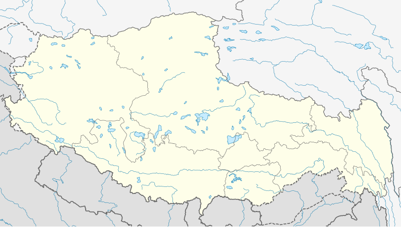
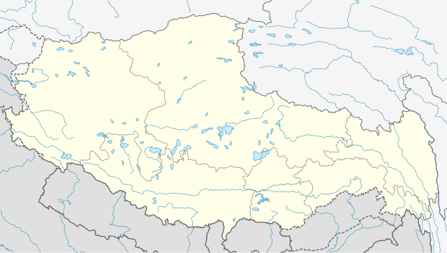
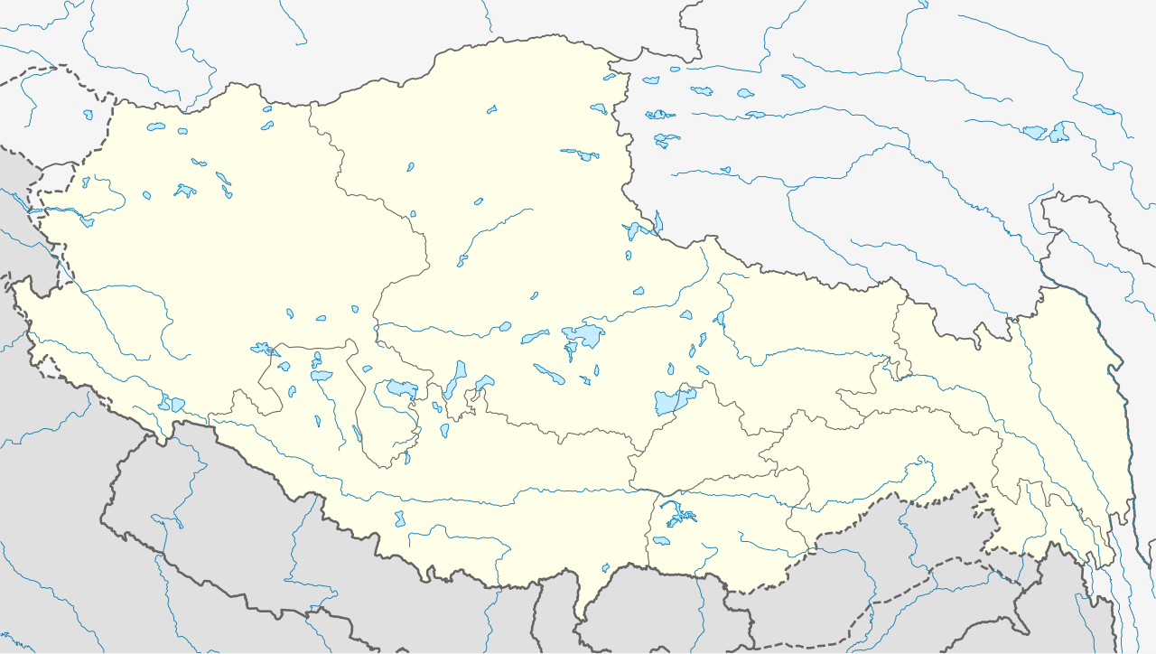
Deutsch: Positionskarte von Autonomes Gebiet Tibet, Volksrepublik China
Quadratische Plattkarte, N-S-Streckung 118 %. Geographische Begrenzung der Karte:
English: Location map of Tibet Autonomous Region, People's Republic of China
Equirectangular projection, N/S stretching 118 %. Geographic limits of the map:
|
||
| நாள் | |||
| மூலம் |
சொந்த முயற்சி, using
|
||
| ஆசிரியர் | NordNordWest | ||
| அனுமதி (இக்கோப்பை மீண்டும் பயன்படுத்துதல்) |
This file is licensed under the Creative Commons Attribution-Share Alike 3.0 Germany license.
 This file is licensed under the Creative Commons Attribution-Share Alike 3.0 Germany license.
|
||
| SVG genesis | This W3C-invalid map was created with Adobe Illustrator.
|


கோப்பின் வரலாறு
குறித்த நேரத்தில் இருந்த படிமத்தைப் பார்க்க அந்நேரத்தின் மீது சொடுக்கவும்.
| நாள்/நேரம் | நகம் அளவு சிறுபடம் | அளவுகள் | பயனர் | கருத்து | |
|---|---|---|---|---|---|
| தற்போதைய | 08:24, 22 மே 2020 | | 2,013 × 1,137 (465 KB) | NordNordWest | Reverted to version as of 10:41, 29 January 2019 (UTC); AGAIN: only vector data in this svg please |
| 21:38, 21 மே 2020 |  | 2,013 × 1,137 (595 KB) | Geographyinitiative | Reverted to version as of 06:29, 29 January 2019 (UTC) part of Aksai Chin is under TAR jurisdiction | |
| 10:41, 29 சனவரி 2019 |  | 2,013 × 1,137 (465 KB) | NordNordWest | Reverted to version as of 12:39, 8 May 2013 (UTC); only vector data in this svg please | |
| 06:29, 29 சனவரி 2019 |  | 2,013 × 1,137 (595 KB) | 复旦大学张超 | edit | |
| 12:39, 8 மே 2013 |  | 2,013 × 1,137 (465 KB) | NordNordWest | upd | |
| 12:38, 8 மே 2013 |  | 2,013 × 1,137 (465 KB) | NordNordWest | upd | |
| 13:28, 23 பெப்பிரவரி 2010 |  | 2,013 × 1,137 (639 KB) | NordNordWest | upd | |
| 20:41, 10 திசம்பர் 2009 |  | 2,013 × 1,138 (632 KB) | NordNordWest | =={{int:filedesc}}== {{Information |Description= {{de|Positionskarte von Autonomes Gebiet Tibet, Volksrepublik China}} Quadratische Plattkarte, N-S-Streckung 118 %. Geographische Begrenzung der Ka |
கோப்பு பயன்பாடு
பின்வரும் 4 பக்கங்கள் இணைப்பு இப் படிமத்துக்கு இணைக்கபட்டுள்ளது(ளன):
கோப்பின் முழுமையான பயன்பாடு
கீழ்கண்ட மற்ற விக்கிகள் இந்த கோப்பை பயன்படுத்துகின்றன:
- ar.wikipedia.org-திட்டத்தில் இதன் பயன்பாடு
- ba.wikipedia.org-திட்டத்தில் இதன் பயன்பாடு
- be.wikipedia.org-திட்டத்தில் இதன் பயன்பாடு
- bg.wikipedia.org-திட்டத்தில் இதன் பயன்பாடு
- bn.wikipedia.org-திட்டத்தில் இதன் பயன்பாடு
- লোৎসে
- কৈলাস পর্বত
- ব্সাম-য়াস বৌদ্ধবিহার
- টেমপ্লেট:অবস্থান মানচিত্র চীন তিব্বত
- খ্রা-ব্রুগ বৌদ্ধবিহার
- টেমপ্লেট:অবস্থান মানচিত্র China Tibet
- র্দো-র্জে-ব্রাগ বৌদ্ধবিহার
- দ্গা'-ল্দান বৌদ্ধবিহার
- 'ব্রাস-স্পুংস বৌদ্ধবিহার
- সাঙ্গা বৌদ্ধবিহার
- মডিউল:অবস্থান মানচিত্র/উপাত্ত/চীন তিব্বত
- মডিউল:অবস্থান মানচিত্র/উপাত্ত/চীন তিব্বত/নথি
- লিপুলেখ গিরিপথ
- পুমোরি
- ca.wikipedia.org-திட்டத்தில் இதன் பயன்பாடு
- cdo.wikipedia.org-திட்டத்தில் இதன் பயன்பாடு
- ceb.wikipedia.org-திட்டத்தில் இதன் பயன்பாடு
- cs.wikipedia.org-திட்டத்தில் இதன் பயன்பாடு
- cv.wikipedia.org-திட்டத்தில் இதன் பயன்பாடு
- en.wikipedia.org-திட்டத்தில் இதன் பயன்பாடு
சிறப்பு பக்கம்-மொத்த பயன்பாடு - இதன் மூலம் இந்த கோப்பின் மொத்த பயன்பாட்டை அறிய முடியும்