படிமம்:Jammu and Kashmir locator map.svg

மூலக்கோப்பு (SVG கோப்பு, பெயரளவில் 2,160 × 1,696 பிக்சல்கள், கோப்பு அளவு: 679 KB)
| இது விக்கிமீடியா பொதுக்கோப்பகத்தில் இருக்கும் ஒரு கோப்பாகும். இக்கோப்பைக் குறித்து அங்கே காணப்படும் படிம விளக்கப் பக்கத்தை இங்கே கீழே காணலாம்.
|
| தலைப்பு |
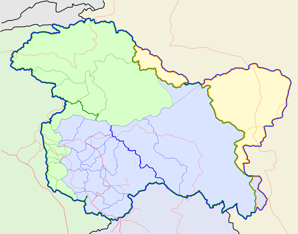
Jammu and Kashmir locator map |
||
| Description |
Locator map for the state of w:Jammu and Kashmir |
||
| நாள் | |||
| மூலம் |
சொந்த முயற்சி |
||
| படைப்பாளி |
|
||
| அனுமதி (இக்கோப்பை மீண்டும் பயன்படுத்துதல்) |
இந்த ஆக்கத்தின் காப்புரிமையாளரான நான் இதனைப் பின்வரும் உரிமத்தின் கீழ் வெளியிடுகின்றேன்: இந்த கோப்பு Creative Commons Attribution-Share Alike 3.0 Unported உரிமத்தின் கீழ் உள்ளது.
|
||
| Geotemporal data | |||
| Date depicted | second half of 20 century உம் 21 century | ||
| Georeferencing | If inappropriate please set warp_status = skip to hide. | ||
| Archival data | |||
| குறிப்புகள் | Part of WikiProject India Maps | ||
கோப்பின் வரலாறு
குறித்த நேரத்தில் இருந்த படிமத்தைப் பார்க்க அந்நேரத்தின் மீது சொடுக்கவும்.
| நாள்/நேரம் | நகம் அளவு சிறுபடம் | அளவுகள் | பயனர் | கருத்து | |
|---|---|---|---|---|---|
| தற்போதைய | 10:31, 6 அக்டோபர் 2020 | | 2,160 × 1,696 (679 KB) | Hindian1947 | Fixed colour |
| 10:26, 6 அக்டோபர் 2020 |  | 2,700 × 2,120 (153 KB) | Hindian1947 | Ladakh, Gilgit Baltistan borders fixed | |
| 18:00, 9 ஏப்பிரல் 2007 |  | 2,160 × 1,696 (211 KB) | Planemad | {{WikiProject_India_Maps |Title=Jammu and Kashmir locator map |Description=Locator map for the state of [w:Jammu and Kashmir]] |Source= [http://www.koausa.org/Nature/maps.html Map of Kashmir], |Date=April 2007 |Author=w:user:Planemad }} [[Category:W |
கோப்பு பயன்பாடு
பின்வரும் 2 பக்கங்கள் இணைப்பு இப் படிமத்துக்கு இணைக்கபட்டுள்ளது(ளன):
கோப்பின் முழுமையான பயன்பாடு
கீழ்கண்ட மற்ற விக்கிகள் இந்த கோப்பை பயன்படுத்துகின்றன:
- ar.wikipedia.org-திட்டத்தில் இதன் பயன்பாடு
- bn.wikipedia.org-திட்டத்தில் இதன் பயன்பாடு
- bpy.wikipedia.org-திட்டத்தில் இதன் பயன்பாடு
- ceb.wikipedia.org-திட்டத்தில் இதன் பயன்பாடு
- de.wikipedia.org-திட்டத்தில் இதன் பயன்பாடு
- en.wiktionary.org-திட்டத்தில் இதன் பயன்பாடு
- fa.wikipedia.org-திட்டத்தில் இதன் பயன்பாடு
- gu.wikipedia.org-திட்டத்தில் இதன் பயன்பாடு
- hi.wikipedia.org-திட்டத்தில் இதன் பயன்பாடு
- साँचा:ज्ञानसन्दूक भारत के क्षेत्र
- साँचा:ज्ञानसन्दूक भारत के क्षेत्र/doc
- अनंतनाग लोक सभा निर्वाचन क्षेत्र
- बारामूला लोक सभा निर्वाचन क्षेत्र
- जम्मू लोक सभा निर्वाचन क्षेत्र
- लद्दाख लोक सभा निर्वाचन क्षेत्र
- श्रीनगर लोक सभा निर्वाचन क्षेत्र
- उधमपुर लोक सभा निर्वाचन क्षेत्र
- शारदापीठ
- रिमो मुज़ताग़
- Module:Location map/data/Kashmir
- Module:Location map/data/Kashmir/doc
- हाजी पीर की लड़ाई
- शाह मीर राजवंश
- id.wikipedia.org-திட்டத்தில் இதன் பயன்பாடு
- it.wikipedia.org-திட்டத்தில் இதன் பயன்பாடு
- ja.wikipedia.org-திட்டத்தில் இதன் பயன்பாடு
- ks.wikipedia.org-திட்டத்தில் இதன் பயன்பாடு
- mai.wikipedia.org-திட்டத்தில் இதன் பயன்பாடு
- ml.wikipedia.org-திட்டத்தில் இதன் பயன்பாடு
சிறப்பு பக்கம்-மொத்த பயன்பாடு - இதன் மூலம் இந்த கோப்பின் மொத்த பயன்பாட்டை அறிய முடியும்