படிமம்:SaintDomingue.360.jpg
இந்த முன்னோட்டத்தின் அளவு: 773 × 600 படப்புள்ளிகள் . மற்ற பிரிதிறன்கள்: 310 × 240 படப்புள்ளிகள் | 619 × 480 படப்புள்ளிகள் | 990 × 768 படப்புள்ளிகள் | 1,280 × 993 படப்புள்ளிகள் | 2,560 × 1,986 படப்புள்ளிகள் | 5,931 × 4,601 படப்புள்ளிகள் .
மூலக்கோப்பு (5,931 × 4,601 படவணுக்கள், கோப்பின் அளவு: 12.27 MB, MIME வகை: image/jpeg)
| இது விக்கிமீடியா பொதுக்கோப்பகத்தில் இருக்கும் ஒரு கோப்பாகும். இக்கோப்பைக் குறித்து அங்கே காணப்படும் படிம விளக்கப் பக்கத்தை இங்கே கீழே காணலாம்.
|
சுருக்கம்
| விளக்கம் |
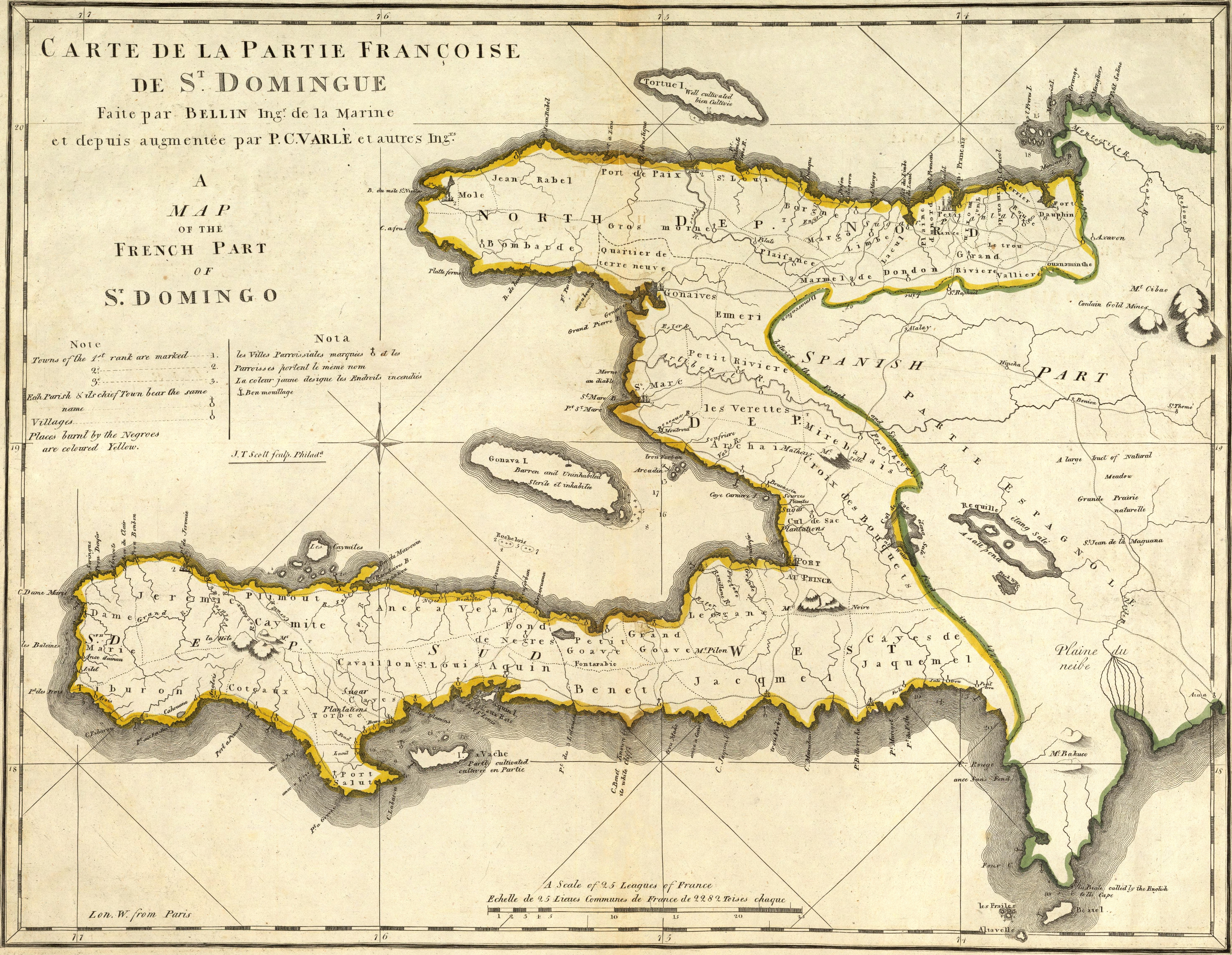
English: Map of French part of Saint Domingue (Haiti).
Français : Carte de la partie française de Saint-Domingue.
|
| நாள் | |
| மூலம் | https://www.davidrumsey.com/luna/servlet/detail/RUMSEY~8~1~640~50079:Carte-De-La-Partie-Francoise-De-St-?sort=Pub_List_No_InitialSort%2CPub_Date%2CPub_List_No%2CSeries_No# |
| ஆசிரியர் | Mathew Carey (engravers/printers: Bellin, Jacques Nicolas, 1703-1772; Scott, Joseph T.; Varle, P.C.) |
அனுமதி
|
This work is in the public domain in its country of origin and other countries and areas where the copyright term is the author's life plus 100 years or fewer. | |
| This file has been identified as being free of known restrictions under copyright law, including all related and neighboring rights. | |
கோப்பின் வரலாறு
குறித்த நேரத்தில் இருந்த படிமத்தைப் பார்க்க அந்நேரத்தின் மீது சொடுக்கவும்.
| நாள்/நேரம் | நகம் அளவு சிறுபடம் | அளவுகள் | பயனர் | கருத்து | |
|---|---|---|---|---|---|
| தற்போதைய | 00:11, 6 நவம்பர் 2021 | | 5,931 × 4,601 (12.27 MB) | SyntaxTerror | very high res., cleaned, contrast |
| 23:46, 5 நவம்பர் 2021 |  | 1,200 × 929 (504 KB) | SyntaxTerror | higher resolution, artifacts removed, cleaned, lighting/contrast (original from http://www.davidrumsey.com/rumsey/Size4/D0005/00054079.jpg) | |
| 11:46, 31 திசம்பர் 2007 |  | 360 × 281 (43 KB) | JoseREMY | {{Information |Description=Map of french part of Saint Domingue |Source=French public archives |Date=1789 |Author=Bellin and P. C. Varle |Permission=Public domain |other_versions=no }} |
கோப்பு பயன்பாடு
பின்வரும் பக்க இணைப்புகள் இப் படிமத்துக்கு இணைக்கபட்டுள்ளது(ளன):
கோப்பின் முழுமையான பயன்பாடு
கீழ்கண்ட மற்ற விக்கிகள் இந்த கோப்பை பயன்படுத்துகின்றன:
- br.wikipedia.org-திட்டத்தில் இதன் பயன்பாடு
- cs.wikipedia.org-திட்டத்தில் இதன் பயன்பாடு
- da.wikipedia.org-திட்டத்தில் இதன் பயன்பாடு
- de.wikipedia.org-திட்டத்தில் இதன் பயன்பாடு
- en.wikipedia.org-திட்டத்தில் இதன் பயன்பாடு
- en.wiktionary.org-திட்டத்தில் இதன் பயன்பாடு
- fi.wikipedia.org-திட்டத்தில் இதன் பயன்பாடு
- fr.wikipedia.org-திட்டத்தில் இதன் பயன்பாடு
- ht.wikipedia.org-திட்டத்தில் இதன் பயன்பாடு
- hu.wikipedia.org-திட்டத்தில் இதன் பயன்பாடு
- it.wikipedia.org-திட்டத்தில் இதன் பயன்பாடு
- ja.wikipedia.org-திட்டத்தில் இதன் பயன்பாடு
- ko.wikipedia.org-திட்டத்தில் இதன் பயன்பாடு
- nl.wikipedia.org-திட்டத்தில் இதன் பயன்பாடு
- no.wikipedia.org-திட்டத்தில் இதன் பயன்பாடு
- pl.wikipedia.org-திட்டத்தில் இதன் பயன்பாடு
- pt.wikipedia.org-திட்டத்தில் இதன் பயன்பாடு
- ru.wikipedia.org-திட்டத்தில் இதன் பயன்பாடு
- simple.wikipedia.org-திட்டத்தில் இதன் பயன்பாடு
- th.wikipedia.org-திட்டத்தில் இதன் பயன்பாடு
- uk.wikipedia.org-திட்டத்தில் இதன் பயன்பாடு
- vi.wikipedia.org-திட்டத்தில் இதன் பயன்பாடு
- zh.wiktionary.org-திட்டத்தில் இதன் பயன்பாடு