படிமம்:Blankmap-ao-090S-south pole.png

இந்த முன்னோட்டத்தின் அளவு: 600 × 600 படப்புள்ளிகள் . மற்ற பிரிதிறன்கள்: 240 × 240 படப்புள்ளிகள் | 480 × 480 படப்புள்ளிகள் | 726 × 726 படப்புள்ளிகள் .
மூலக்கோப்பு (726 × 726 படவணுக்கள், கோப்பின் அளவு: 9 KB, MIME வகை: image/png)
| இது விக்கிமீடியா பொதுக்கோப்பகத்தில் இருக்கும் ஒரு கோப்பாகும். இக்கோப்பைக் குறித்து அங்கே காணப்படும் படிம விளக்கப் பக்கத்தை இங்கே கீழே காணலாம்.
|

|
This locator map image could be re-created using vector graphics as an SVG file. This has several advantages; see Commons:Media for cleanup for more information. If an SVG form of this image is available, please upload it and afterwards replace this template with
{{vector version available|new image name}}.
It is recommended to name the SVG file “Blankmap-ao-090S-south pole.svg”—then the template Vector version available (or Vva) does not need the new image name parameter. |
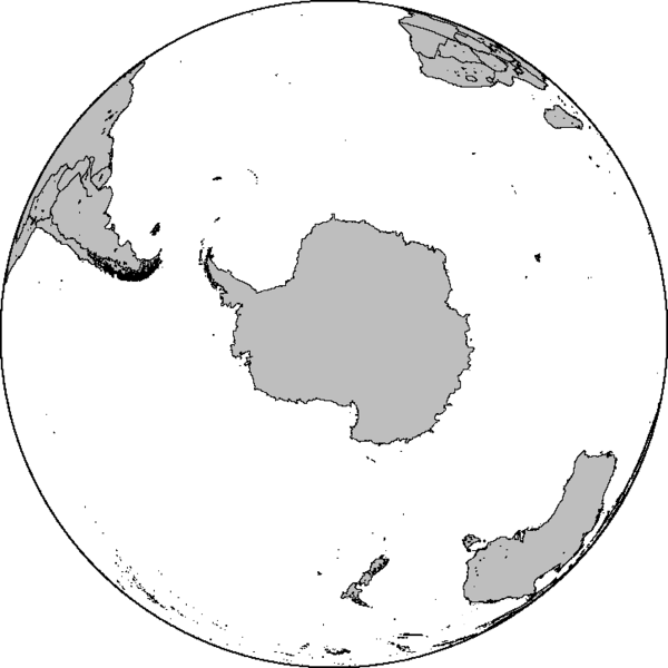
Azimuthal orthographic map projection of coords 90°S/0°.
See Image:Blankmap-ao-090S-south pole.xcf for an XCF file with separate layers for water, land, coastlines, political borders, political borders over water (not shown), and latitude & longitude gridlines (not shown).
Created by User:Reisio with GMT.
இந்த ஆக்கத்தின் காப்புரிமையாளரான Reisio எனும் நான் இதனைப் பின்வரும் உரிமத்தின் கீழ் வெளியிடுகின்றேன்:
| I, the copyright holder of this work, release this work into the public domain. This applies worldwide. சில நாடுகளில் இது சாத்தியமில்லாது போகலாம். அவ்வாறாயின் : I grant anyone the right to use this work for any purpose, without any conditions, unless such conditions are required by law. |
கோப்பின் வரலாறு
குறித்த நேரத்தில் இருந்த படிமத்தைப் பார்க்க அந்நேரத்தின் மீது சொடுக்கவும்.
| நாள்/நேரம் | நகம் அளவு சிறுபடம் | அளவுகள் | பயனர் | கருத்து | |
|---|---|---|---|---|---|
| தற்போதைய | 06:47, 7 பெப்பிரவரி 2010 | | 726 × 726 (9 KB) | Reisio | Reverted to version as of 11:36, 13 October 2005 |
| 06:46, 7 பெப்பிரவரி 2010 | சிறுதோற்றம் இல்லை | (307 KB) | Reisio | must I really? :p | |
| 06:43, 7 பெப்பிரவரி 2010 | சிறுதோற்றம் இல்லை | (81 KB) | Reisio | must I really? :p | |
| 11:36, 13 அக்டோபர் 2005 |  | 726 × 726 (9 KB) | Reisio | Created by User:Reisio with GMT.{{pd}} |
கோப்பு பயன்பாடு
இப் படிமத்துக்கு இணைக்கப்பட்டுள்ள பக்கங்கள் எதுவும் இல்லை.