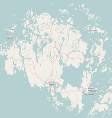
வார்ப்புரு:Location map Finland Åland
| name | ஓலந்து தீவுகள் | |||
|---|---|---|---|---|
| border coordinates | ||||
| 60.483 | ||||
| 19.474 | ←↕→ | 20.485 | ||
| 59.951 | ||||
| map center | 60°13′01″N 19°58′46″E / 60.217°N 19.9795°E | |||
| image | Location map Aland.png | |||

| ||||
| name | ஓலந்து தீவுகள் | |||
|---|---|---|---|---|
| border coordinates | ||||
| 60.483 | ||||
| 19.474 | ←↕→ | 20.485 | ||
| 59.951 | ||||
| map center | 60°13′01″N 19°58′46″E / 60.217°N 19.9795°E / 60.217; 19.9795 | |||
| image | Location map Aland.png | |||

| ||||