படிமம்:Al Istakhri map.jpg
இந்த முன்னோட்டத்தின் அளவு: 479 × 599 படப்புள்ளிகள் . மற்ற பிரிதிறன்கள்: 192 × 240 படப்புள்ளிகள் | 384 × 480 படப்புள்ளிகள் | 614 × 768 படப்புள்ளிகள் | 818 × 1,024 படப்புள்ளிகள் | 1,982 × 2,480 படப்புள்ளிகள் .
மூலக்கோப்பு (1,982 × 2,480 படவணுக்கள், கோப்பின் அளவு: 1.59 MB, MIME வகை: image/jpeg)
| இது விக்கிமீடியா பொதுக்கோப்பகத்தில் இருக்கும் ஒரு கோப்பாகும். இக்கோப்பைக் குறித்து அங்கே காணப்படும் படிம விளக்கப் பக்கத்தை இங்கே கீழே காணலாம்.
|
சுருக்கம்
| விளக்கம் |
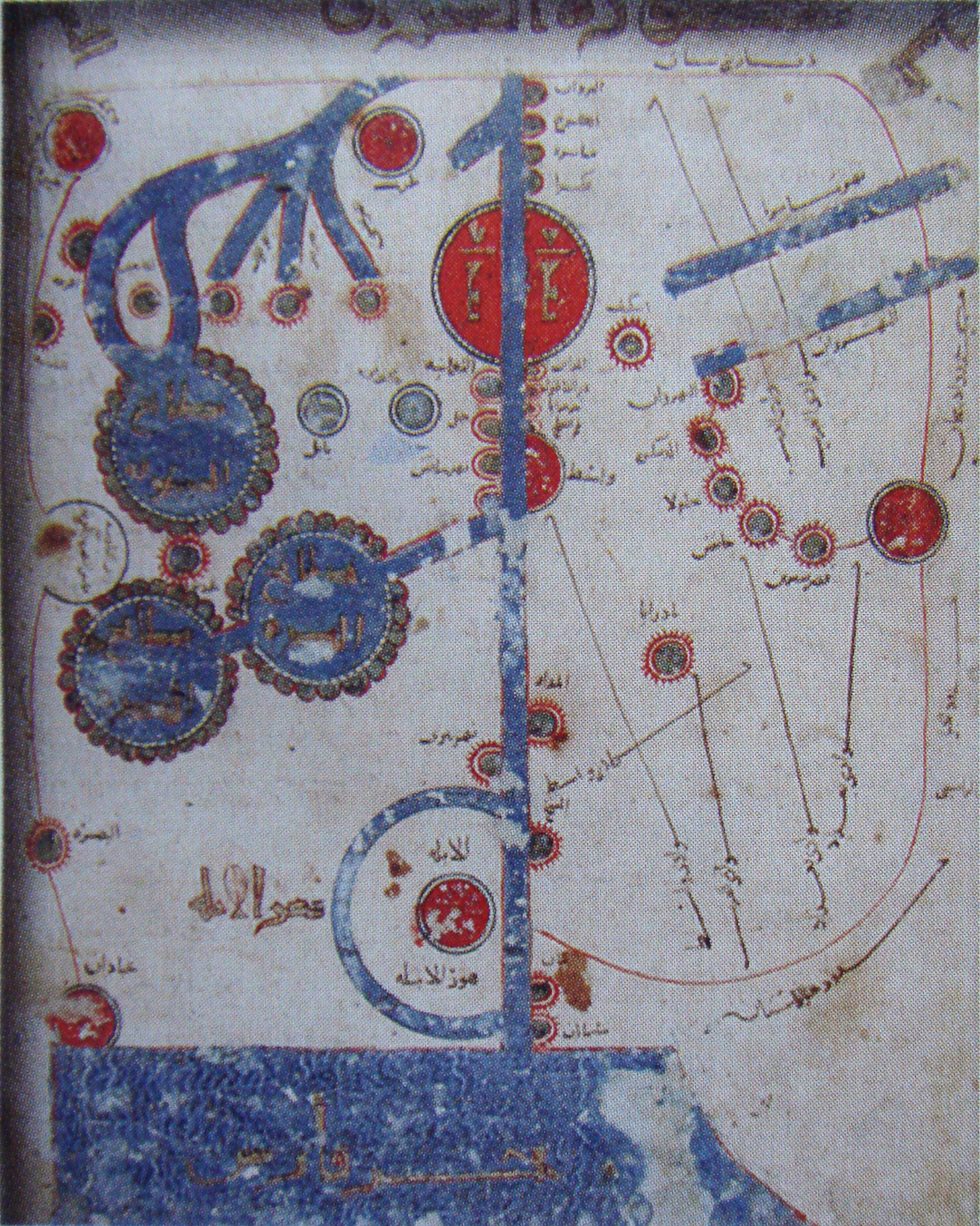
English: Al-Istakhri map of Tigris and Euphrates valley from Bagdad to Persian Gulf's coast. |
|||||||||||||||||||
| நாள் | 9 century | |||||||||||||||||||
| மூலம் | Les Cahiers de Sciences et Vie No114; The Book of roads and kingdoms by Istakhri | |||||||||||||||||||
| ஆசிரியர் |
|
|||||||||||||||||||
அனுமதி
|
This is a faithful photographic reproduction of a two-dimensional, public domain work of art. The work of art itself is in the public domain for the following reason:
The official position taken by the Wikimedia Foundation is that "faithful reproductions of two-dimensional public domain works of art are public domain".
This photographic reproduction is therefore also considered to be in the public domain in the United States. In other jurisdictions, re-use of this content may be restricted; see Reuse of PD-Art photographs for details. | ||||
கோப்பின் வரலாறு
குறித்த நேரத்தில் இருந்த படிமத்தைப் பார்க்க அந்நேரத்தின் மீது சொடுக்கவும்.
| நாள்/நேரம் | நகம் அளவு சிறுபடம் | அளவுகள் | பயனர் | கருத்து | |
|---|---|---|---|---|---|
| தற்போதைய | 12:58, 3 சனவரி 2010 | | 1,982 × 2,480 (1.59 MB) | Uploadalt | {{Information |Description={{en|1=Al_Istakhri map}} |Source=Les Cahiers de Sciences et Vie No114 |Author=Al Istakhri 9th century, "The Book of roads and kingdoms" |Date=9th century |Permission= |other_versions= }} Category:Estakhri |
கோப்பு பயன்பாடு
பின்வரும் பக்க இணைப்புகள் இப் படிமத்துக்கு இணைக்கபட்டுள்ளது(ளன):
கோப்பின் முழுமையான பயன்பாடு
கீழ்கண்ட மற்ற விக்கிகள் இந்த கோப்பை பயன்படுத்துகின்றன:
- ar.wikipedia.org-திட்டத்தில் இதன் பயன்பாடு
- ary.wikipedia.org-திட்டத்தில் இதன் பயன்பாடு
- ba.wikipedia.org-திட்டத்தில் இதன் பயன்பாடு
- de.wikipedia.org-திட்டத்தில் இதன் பயன்பாடு
- de.wikivoyage.org-திட்டத்தில் இதன் பயன்பாடு
- en.wikipedia.org-திட்டத்தில் இதன் பயன்பாடு
- es.wikipedia.org-திட்டத்தில் இதன் பயன்பாடு
- et.wikipedia.org-திட்டத்தில் இதன் பயன்பாடு
- fa.wikipedia.org-திட்டத்தில் இதன் பயன்பாடு
- it.wikipedia.org-திட்டத்தில் இதன் பயன்பாடு
- ka.wikipedia.org-திட்டத்தில் இதன் பயன்பாடு
- ro.wikipedia.org-திட்டத்தில் இதன் பயன்பாடு
- ru.wikipedia.org-திட்டத்தில் இதன் பயன்பாடு
- sv.wikipedia.org-திட்டத்தில் இதன் பயன்பாடு
- uk.wikipedia.org-திட்டத்தில் இதன் பயன்பாடு